Trump’s 'Artificial Border' Comment Sparks Debate Over Historical Accuracy
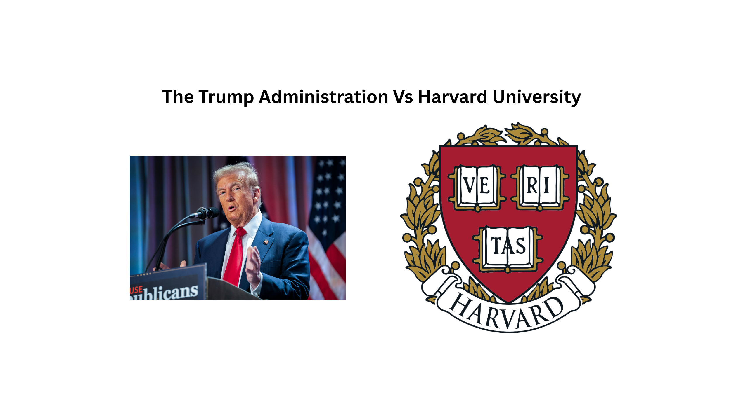
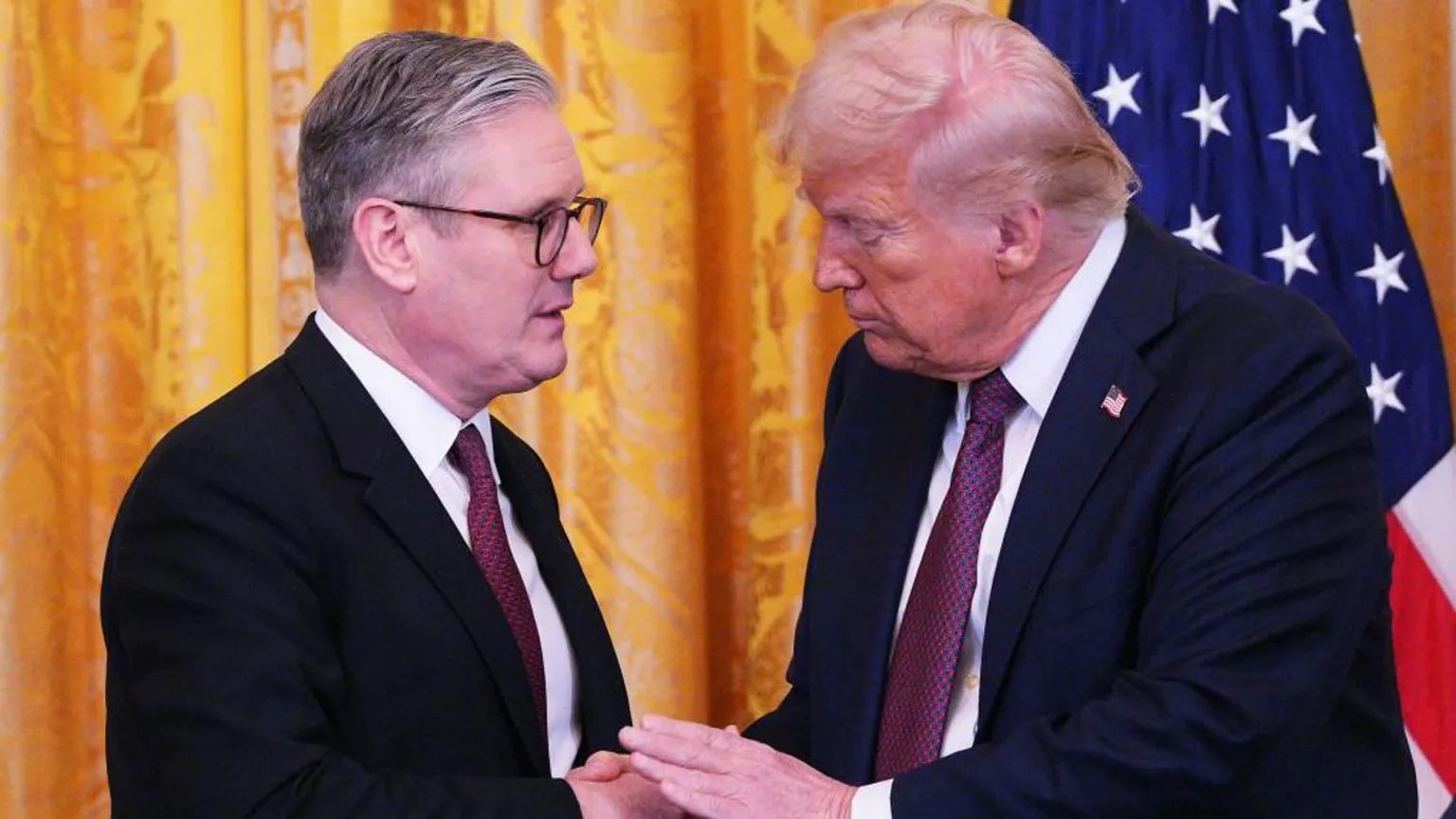
In a recent meeting with Canadian Prime Minister Mark Carney, former U.S. President Donald Trump rekindled an old claim by describing the Canada-U.S. border as an “artificially drawn line.” As reporters looked on, Trump said, “Somebody drew that line many years ago with, like, a ruler — just a straight line across the top of the country.”
While the offhand remark drew raised eyebrows and a lighthearted reaction from Carney, Canadian historians say Trump’s assertion—though delivered provocatively—isn’t entirely unfounded.
Historian Stephen Bown, author of Dominion: The Railway and the Rise of Canada, explains that much of the border was defined through 19th-century treaties signed by diplomats who had never seen the terrain they were partitioning. “He’s trying to stir the pot,” Bown said, “but from a historical standpoint, he’s not wrong.”
The earliest agreements, like the Treaty of Paris in 1783, began the border-drawing process. It wasn’t until the Treaty of 1818, however, that the now-familiar 49th parallel was introduced to simplify surveys during westward expansion. These straight lines often ignored natural landmarks and, more significantly, cut across Indigenous territories—such as the lands of the Blackfoot Confederacy, which straddled present-day Montana and the Canadian Prairies.
The 1846 Oregon Treaty extended the 49th parallel westward to the Pacific, settling disputes between Britain and the U.S. over the region. Later, in 1869, Canada acquired Rupert’s Land from the Hudson’s Bay Company—though, as Bown points out, the company never truly owned the land. “They just agreed to the sale because Britain said they did,” he noted.
British Columbia's entry into Confederation in 1871 was also geopolitically motivated. The American concept of Manifest Destiny posed a real threat, and Prime Minister John A. Macdonald’s promise of a cross-country railway helped secure B.C. for Canada.
The final major change to the border occurred in 1908 when the southeastern edge of Alaska was defined in a compromise favoring the U.S. This decision denied Yukon direct access to the Pacific Ocean, a loss still noted by historians like Craig Baird, host of the Canadian History Ehx podcast.
Though the Canada-U.S. border is the longest undefended boundary in the world, at nearly 9,000 kilometers, Baird says the idea of redrawing it today is unrealistic. “It’s carved into stone,” he said. “You can’t just erase a line and redraw it and say, ‘This is how it’s going to be.’”
Category: news
32
0












Comments